 |
|||
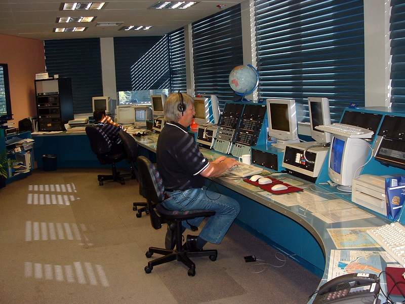
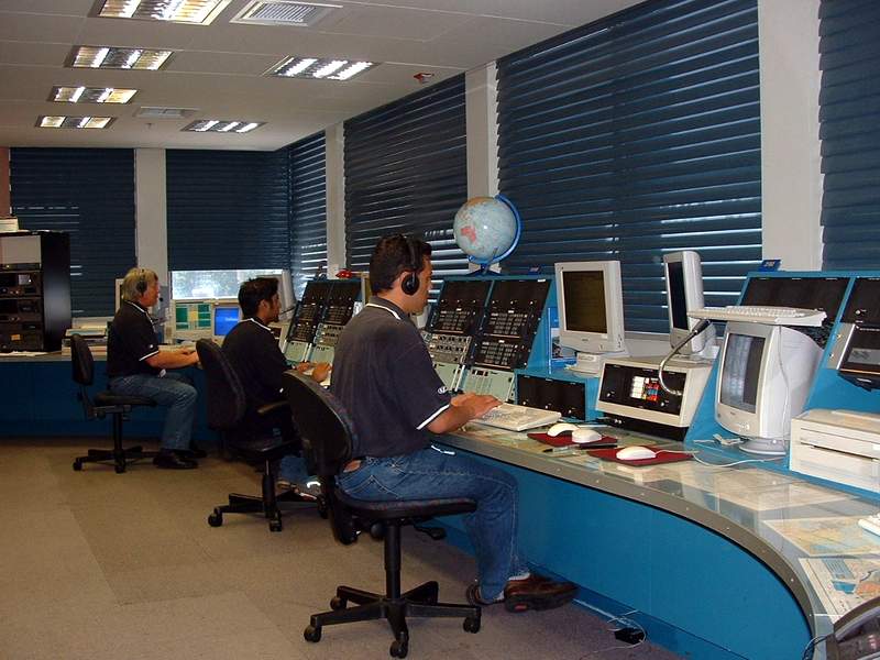
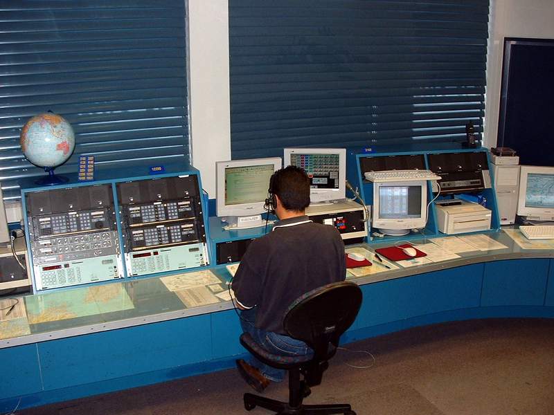
Taupo Maritime Radio Working Frequencies 2207-4146-6224-8297-12356-16531 KHz Calling Frequencies 2182-4125-6215-8291-12290-16420 KHz The New Zealand Maritime Safety Authority's Maritime Radio Network currently consists of 26 VHF sites from Cape Reinga in the north to Stewart Island in the south. Plus 2 HF sites (One RX & One TX) located to the east of Taupo. For it's size New Zealand has the largest area op responsibility in the world. It stretches from the equator to the South Pole and from half way across the Tasman Sea to halfway towards South America. That equates to some 50 million square kilometers of ocean that makes up 12.5% of the earths total water surface. This area known as NAVAREA XIV, includes all of the coastal waters around New Zealand. Click HERE for a map of station location and VHF coverage (In .PDF Format) Below are photographs of the Maritime Operations Centre. Please click on the small image for a larger one. All photographs are © MSA of New Zealand and my thanks to the Station manager for permission to reproduce on this web site |
|||
 |
 |
 |
 |
Click HERE to return to the index page